Core Features
Everything You Need To Fly Smart
Live Airspace Mapping
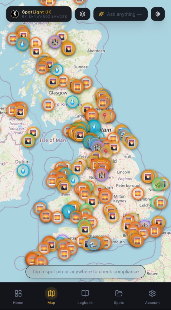
Real-time restricted zone boundaries, airport FRZs, and council bylaw overlays so you always know where you can legally fly.
AI Shot Preview
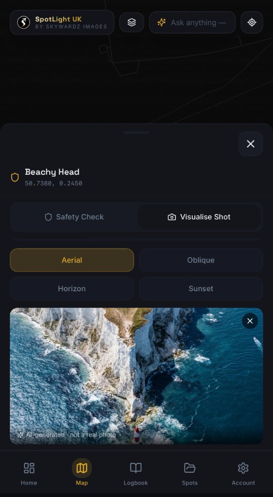
Simulate exactly what your camera will see at any GPS coordinate and altitude before you leave the ground — eliminate wasted battery time.
Atmospheric Metrics
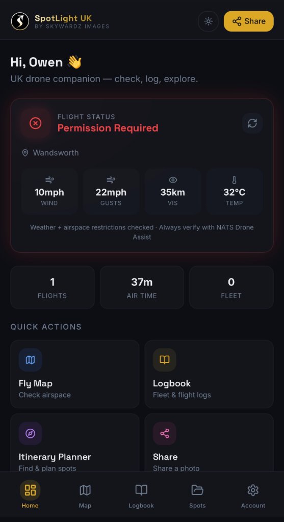
Drone-specific weather data: wind speed at altitude, gust velocity, temperature, and visibility — not generic ground-level forecasts.
Good To Fly Checker
One-tap safety decision engine that calculates all flight variables against standard thresholds and gives you an instant green/red go/no-go.
Professional Logbook
Log airtime, battery cycles, incidents, and assign flights to specific drones in your customisable fleet with serial numbers and CAA categories.
Data Exporter
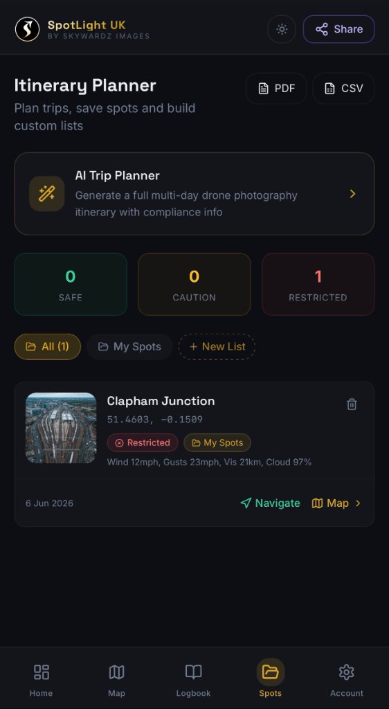
Export your complete flight history as a formatted PDF or CSV, structured for UK CAA spot checks, operator audits, and insurance submissions.
In Action
App Screenshots